Last month, we attended the first annual Digital Sky Challenge, held from 2 to 4 December 2019 in Athens. Many interesting applications were presented, some of which showed great potential both in terms of data science and aviation. Though the winners of each challenge were already announced during the SESAR Innovation Days 2019 dinner, we would like to briefly recap some of the ideas presented during the competition, including the problem assessment and methodology used to solve well-known aviation problems with data mining techniques.

Digital Sky Challenge Rewind: What data-driven solutions were presented?
Antonio Fernandez
2020-01-08 13:38:39
Reading Time: 5 minutes
A total of 12 teams participated in three proposed challenges, with Data Scientists from Innaxis serving as their mentors: Passengers Experience, Environment and Safety. In addition to discussing the potential of the applications developed and their degree of maturity, we’ll also take into account the variety and volume of data as well as the time available to implement the solutions. Ultimately, we have selected solutions that, in our humble opinion, incorporated strong data-driven applications or were deployable in real-world aviation scenarios.
As mentioned in a previous post, all the data used in the hack-a-thon was processed using the DataBeacon infrastructure. All the solutions discussed in this post were directly built over the SDFs saved in this data platform.
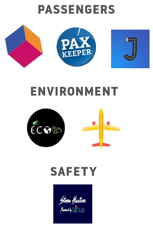
Passengers Experience
5 teams competed in this challenge. Almost all the solutions presented by participants were built around the same concept: creating a travel companion application useful for passengers during the whole trip and mostly oriented to decrease the level of stress.
BRIGHT SOFT TEAM PROJECT
As traveling is usually associated with high levels of stress, passengers feel less satisfied with their experience as a whole and spend less altogether. The research question proposed in response to this issue was: what time do I need to leave my place in order to get to the gate on time? To assess the problem, this team’s proposed solution involved developing a mobile application that decreases the stress of passengers. Three main functionalities were developed for the proof-of-concept: predicting airport wait times, checking luggage status and receiving assistance by airline or airport staff.
Regarding the usage of data, this team mostly worked with passenger data from airlines and airports. The passengers flux dataset was a key resource for this solution, which tracks passenger movements within gate areas. By processing these historical datasets, it was possible to forecast the wait times for certain flights. In particular, this team worked on training a linear regression machine learning model in order to predict wait times for passengers before their arrival at the departure airport. In addition, they combined this prediction with an indoor positioning system, developing a proof-of-concept application that covers all trip phases from home to destination, all embedded in a mobile app.
PAXKEEPER by InnovATM
This concept was also built around the idea of alleviating the stress of travel. In response, InnovATM opted to to make an API to provide a zen indicator, which included information about map positioning, estimates at bottlenecks and potential itineraries and activites at the assigned gate after arrival. First, they calculated the boarding time based on actual flights. Afterwards, they trained a model of all bottlenecks, dynamically updated with live traffic situation and passenger travel habits. Finally, they generated the path to the gate according to the passenger, computing the zen index based on remaining free time available after passenger arrival at the gate.
Using available data, InnovATM mostly focused on the pax movements dataset to group events according to a specific action (e.g. security check, boarding gate, etc.), and measure the time spent on each of these actions. By subtracting boarding time and estimated arrival to gate time, they were able to calculate available free time, assigning a tag representing the passenger zen index. They then created web-based applications in order to exemplify the information provided by the developed API, representing expected waiting times between different terminal check-point areas.
STORM HUNTERS by SoftLab
This team focused on provisioning a risk indicator of flight delay or cancellation due to extreme weather in advance. The developed a tool that compared 4D flight trajectories with forecasted adverse weather events to measure the delay risk. These weather estimations were then provided 3 days in advance. The goal was to improve passenger experience while also providing this information to airlines, NM, ANSPs and airports, helping them to plan their operations better.
At a glance, their objective was quite challenging considering the data available; nevertheless, its applicability in the aviation industry definitely has the potential to have a very strong impact. The main obstacle to this objective is trustworthy weather forecasting, with accurate information on weather needed 3 days in advance. SoftLab developed a descriptive tool to visualize how flight trajectories are affected by adverse weather grid layers. The risk was aggregated into high, medium and low categories, based on the patterns learnt by the tool.
Environment
4 teams applied for this challenge. The solutions proposed by the teams were very different from each other, relying on innovative concepts to create green solutions with available data.
JULIETT by AerLabs
AerLabs aimed to decrease the impact of delays or cancellations, mostly produced by adverse weather changing runway configurations. Juliett applications predict how adverse weather impact airport capacity. By combining predictions with a cost model, airlines can make sound decisions on cancelling flights. This also encourages airlines to notify passengers in advance, allowing them to rebook, saving passengers compensation costs. By investing savings in sustainable biofuels and saving fuel by reducing delays, airlines can promote cleaner skies.
By using machine learning, AerLabs trained a runway prediction model using historical weather data, with runway capacity as the target variable. With this prediction, they implemented a decision making tool that identifies threats and suggest solutions to mitigate the impact, optimizing the benefit. They implemented a descriptive dashboard showing the capacity forecast as related to weather and how it might decrease runway capacity. Then, they estimated the impact of possible delays, measuring the flights affected, costs and fuel consumed.
ECO-TRAVELERS
The issue addresses the difficulty of being eco-friendly while traveling fast for business. This team developed a tool for supporting eco-friendly travelers by providing awareness and opportunities to easily choose the greenest realistic option based on CO2 emissions computed from real data. They compared several traveling options from airlines and train operators and then proposed options that allowed travelers to reach their destinations within a day. The application computes the CO2 emissions for each segment, with some segments derived from historical data. Results and CO2 emissions are then displayed on the mobile application.
They used the fuel consumption data present in the Network Manager dataset, calculated by the Computed Traffic Flight Model (CTFM), which relies on a linear regression model per ADEP-ADES pair. From this fuel consumption, they estimated CO2 emissions. The final proof-of-concept is a web application dashboard showing the green path for chosen origin-destination trips.
Safety
3 teams applied for this challenge. Most of the proposed solutions focused on building decision support tools for understanding the precursors of a safety incident, and particularly for a LoS (loss of separation).
SIAAS by JBM
One major challenge for this team was learning from past safety incidents in historical datasets to be able to better identify weaknesses and opportunities of existing systems. SIAAS (Safety Incident as a Service) is mostly presented as a dashboard where LoS are displayed at different levels of severity. This team used ADS-B data to label loss of separation using ‘The Triangle Trick‘. This methodology consists of taking the 2D positioning of several aircrafts and drawing two triangles around them. If any of the zones from multiple aircraft meet, the minimum safety distance (<5nm) is determined to have been breached. Using this same methodology, this team created three categories to measure severity (red, orange, green). They only worked using horizontal distances (2D) to simplify the data processing step and proposed a third dimension (altitude) as a future project. The final users for this application are ANSPs for post operating analysis.